Jamaica to receive prestigious Esri President's Award for Leadership in GIS innovation
Key Points(5)
- Holness is attending the 2026 Esri User Conference from July 11-14, where Jamaica will be honored for its development of an integrated national geospatial infrastructure and its use of GIS technology to support data-driven governance.
- Esri is the world's leading developer of GIS software and location intelligence technology.
- Its mapping and spatial analytics platforms are used by governments, businesses and organizations around the world to guide infrastructure development, emergency response, land management and policymaking.
- The award highlights Jamaica's growing use of digital mapping and geospatial data across multiple sectors, helping government agencies better understand and manage everything from road networks and water infrastructure to land use and disaster response.
- GIS technology enables planners to analyze real-world geographic data rather than relying on estimates, allowing for more informed decisions on where to build infrastructure, identify vulnerable communities and coordinate emergency services during hurricanes and other natural disasters.
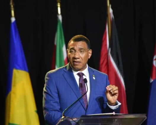
Prime Minister Andrew Holness is in San Diego, California, where he will accept the 2026 Esri President's Award on behalf of the Government of Jamaica, recognizing the country's leadership in using Geographic Information Systems (GIS) to improve public planning, disaster preparedness and evidence-based decision-making.
Holness is attending the 2026 Esri User Conference from July 11-14, where Jamaica will be honored for its development of an integrated national geospatial infrastructure and its use of GIS technology to support data-driven governance.
Esri is the world's leading developer of GIS software and location intelligence technology. Its mapping and spatial analytics platforms are used by governments, businesses and organizations around the world to guide infrastructure development, emergency response, land management and policymaking.
The award highlights Jamaica's growing use of digital mapping and geospatial data across multiple sectors, helping government agencies better understand and manage everything from road networks and water infrastructure to land use and disaster response.
GIS technology enables planners to analyze real-world geographic data rather than relying on estimates, allowing for more informed decisions on where to build infrastructure, identify vulnerable communities and coordinate emergency services during hurricanes and other natural disasters.
The recognition also reflects Jamaica's investment in building an integrated geospatial system that supports collaboration across government ministries and agencies, creating a more coordinated approach to national development.
The Prime Minister's Office said Minister of Culture, Gender, Entertainment and Sport Olivia "Babsy" Grange is overseeing the affairs of government during Holness' absence. She assumed responsibility after Deputy Prime Minister and Minister of National Security and Peace Dr. Horace Chang also travelled overseas on official duties.